COVID-19 Locations App
Work - - 2 min read
An iOS app that uses government data to provide easy-to-search information on public locations where someone with COVID-19 was present.
Challenge
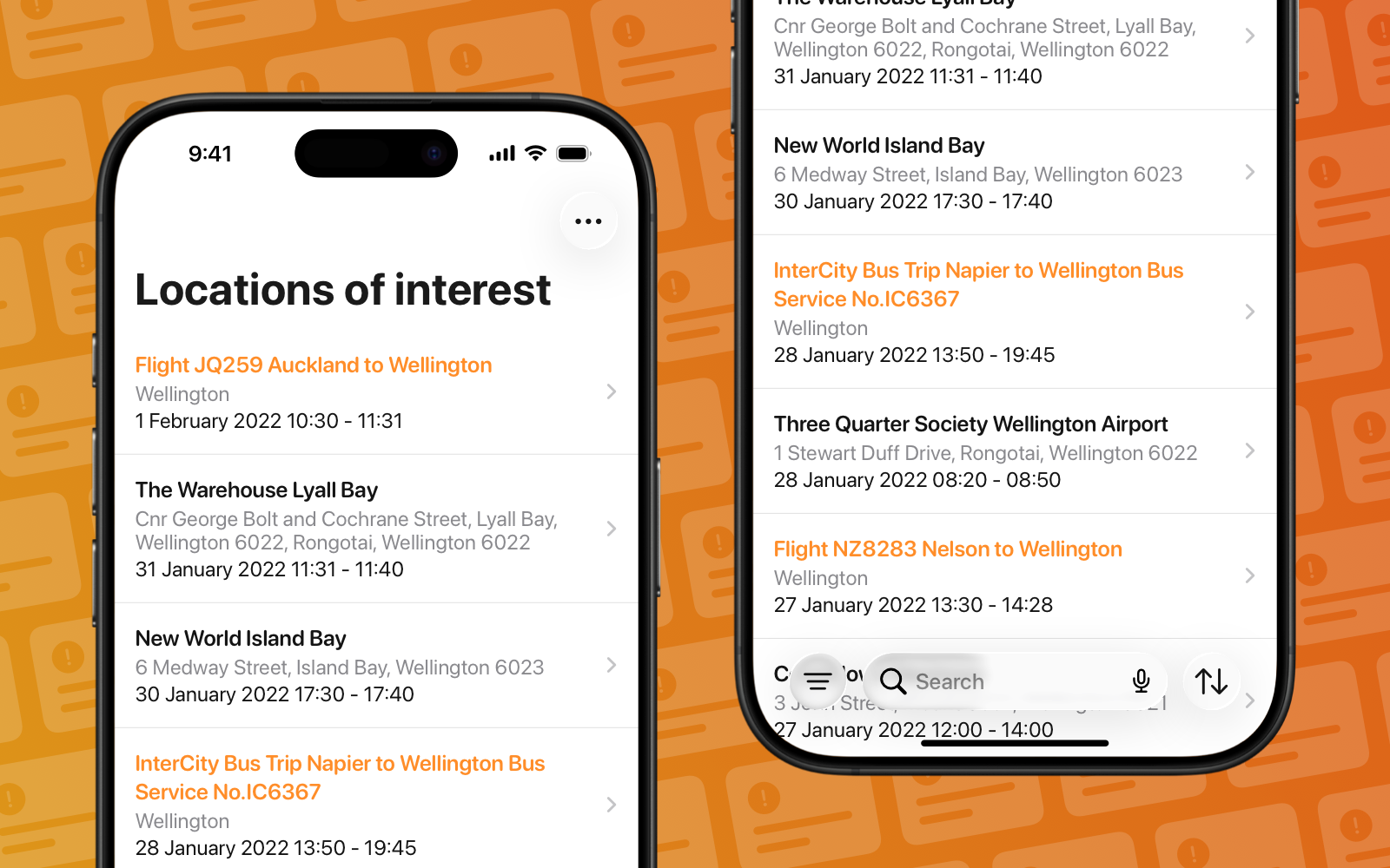
As New Zealand reopened its borders in early 2022, COVID-19 cases began appearing in the community again. The Ministry of Health was publishing an hourly-updated spreadsheet listing every public location where exposure had occurred. But as the list grew to hundreds of entries, it became nearly impossible for people to quickly identify relevant exposures in their area. The spreadsheet format made it difficult to search by location, filter by date, or understand which sites required immediate action versus general awareness. New Zealanders needed a faster, more intuitive way to stay informed about potential exposures that actually affected them.
Solution
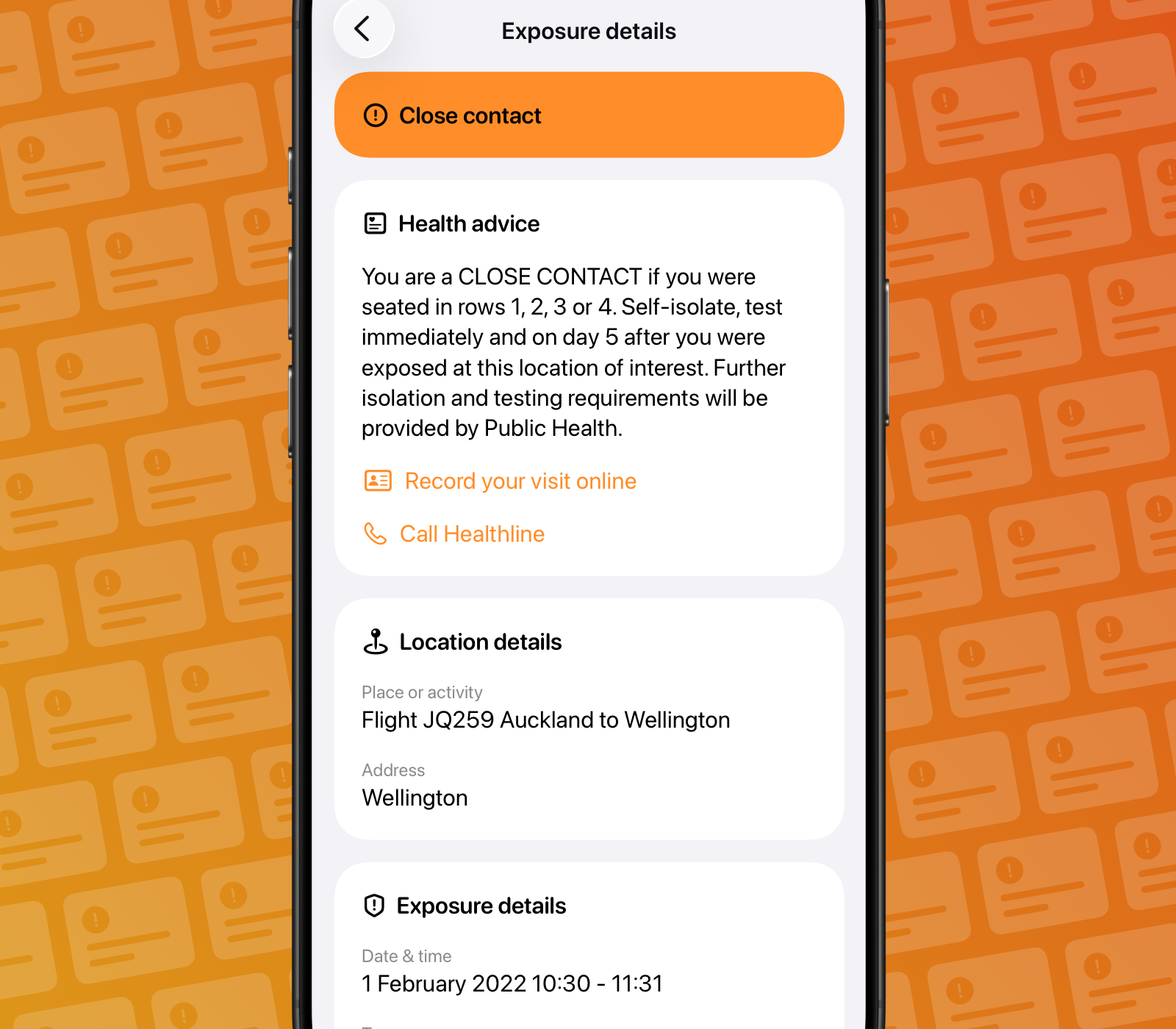
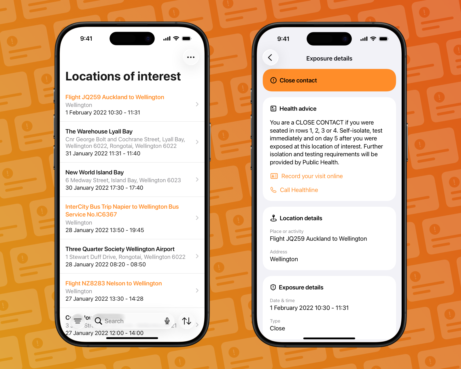
I built a native iOS app using Swift and SwiftUI that transformed the Ministry of Health’s spreadsheet into an intuitive, searchable interface. The app connected directly to the official Locations of Interest API, automatically updating as new exposure sites were added. Users could quickly search, sort, and filter locations by area, date, or risk level; making it easy to identify relevant exposures at a glance. Each location included clear guidance on next steps based on official health advice, with direct links to contact tracing and testing resources.